
Professional Package (Source Files Included)
£359.99
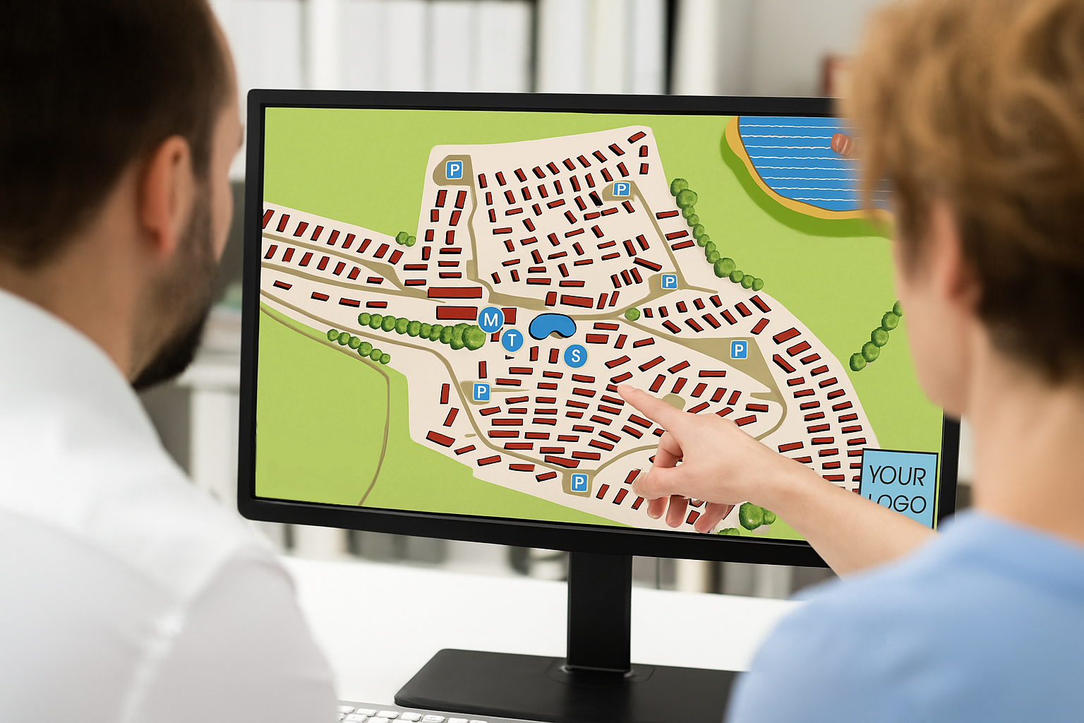
For clients who want full control of their maps for future edits and integration.
Everything in the Enhanced GIS Map Tier, plus:
A ZIP folder containing:
Original QGIS project files (.qgz)
All shapefiles/GeoJSON/QuickOSM data used
Edited graphic assets (from your photo editing software)
Exported map files (high-res PDF/PNG)
Full rights to edit and reuse the files internally.
Up to 2 rounds of revisions.
LJC Mapping
High-detail GIS mapping and photo editing services.
LJC Mapping is a specialised mapping company that creates accurate, efficient, and tailored maps designed to fulfill your distinct needs. Whether for urban planning, tourism, or business purposes. With the use of GIS and photo editing, whatever your desired outcome is for you maps, we can achieve it. Supported by more than a decade of experience.
Free Consultation
© 2025. All rights reserved.
Some maps produced by LJC Mapping include data from © OpenStreetMap contributors. Data available under the Open Database License (ODbL).
Imagery © Google Earth, used for reference only.
